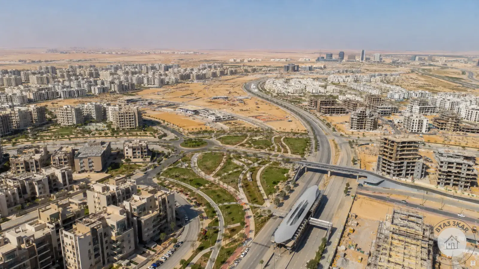
An eight-page planning presentation associated with Egypt’s Urban Development Consortium sets out seven ambitions for the New Administrative Capital: a green, sustainable, walkable, livable, connected, smart and business-oriented city. The document is useful as a record of the planning vision, but it does not establish that every target was subsequently delivered.
Quick answer
The presentation describes a city planned around 15 square metres of green and open space per person, extensive solar-energy use, pedestrian and cycling networks, mixed housing densities, integrated public transport, electronic services and a major business district. These are stated targets rather than verified operating results.
This review by BTA33KAR (بتاع عقار) focuses on what the document actually says, where its numbers are clear and where buyers, investors and market observers should remain cautious.
What is the document?
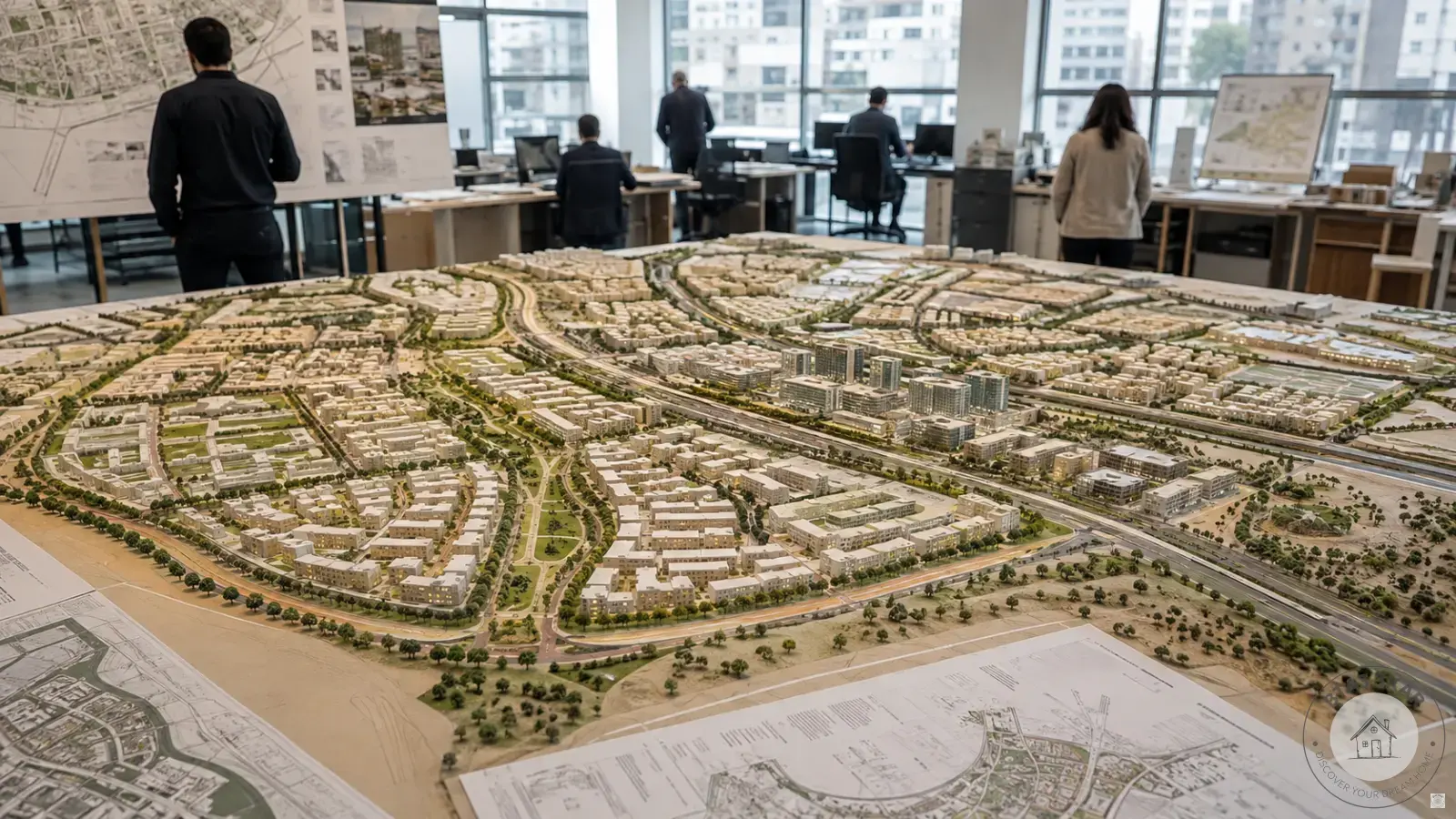
The reviewed PDF is an image-based presentation carrying the “5+ UDC Urban Development Consortium” identity. It contains no formal cover title, publication date, author or approval statement. Its opening page presents “7 Goals,” while the following seven pages explain one goal each through planning diagrams and illustrative photographs.
The project is not named inside the PDF. However, the figures and descriptions correspond closely to public statements issued during the planning of Egypt’s New Administrative Capital. Contemporaneous reports identify the same seven themes and repeat the targets for green space, solar roofs, walking and cycling, housing, transport, digital services and business activity.
The identification is therefore well supported, but it should still be understood as a corroborated conclusion rather than a title printed in the source itself.
The seven planning goals
1. A green city
The deck sets a target of 15 square metres of green and open space per person. A highlighted green corridor is shown passing through the master-plan diagram.
This figure is a planning benchmark. The PDF does not provide a calculation method, population basis, delivery phase or audited measurement of completed public space.
2. A sustainable city
The sustainability section refers to energy efficiency, renewable energy, waste recycling and the reuse of treated wastewater for irrigation.
- Page 1 says solar units would cover 70% of building roofs.
- Page 3 separately states “60% using solar and renewable energy.”
- Page 3 also displays targets of 100% waste recycling and 100% irrigation from treated wastewater.
The 60% and 70% figures cannot be treated as interchangeable. One appears to concern roof coverage, while the other may refer to an energy share, but the document does not define the second measure. Any current claim about renewable-energy performance would therefore require a newer technical or operational source.
3. A walkable city
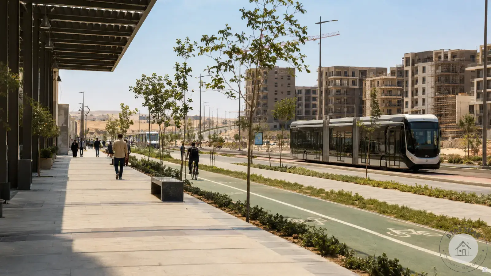
The presentation proposes connecting neighbourhoods through pedestrian and cycling routes and allocating 40% of the road network to pedestrians and bicycles.
For property users, this objective matters because walkability depends on more than the presence of wide pavements. It also requires continuous routes, safe crossings, shade, active ground-floor uses and practical access to schools, services and transport.
4. A livable city
The housing concept divides residential provision into:
- 35% high-density housing, with indicative areas of 50–100 square metres.
- 50% medium-density housing, with indicative areas of 100–200 square metres.
- 15% low-density housing, with indicative areas of 200–350 square metres.
The deck also associates 30% of the city’s area with housing and life and refers to a target of 1.5 million residential units.
These percentages describe a planned citywide mix. They do not tell a buyer what was approved, built, occupied or available in a particular district or development.
5. A connected city
The transport vision lists a hierarchy of train, metro, tram, trolley, bus and taxi services. The central planning idea is that different transport modes should be integrated rather than treated as isolated projects.
The slide provides no route lengths, station numbers, opening dates, operating frequencies or confirmed interchange points. Those details must be checked against current transport-authority information before making a purchase or location decision.
6. A smart city
The smart-city objective says city services would be provided electronically and that the city would be covered by an information network.
In practical terms, a smart-city claim should be assessed through measurable services: utility monitoring, digital government access, fibre connectivity, payment systems, transport information, building management and data protection. The PDF sets a direction but supplies no technical specifications or service-level evidence.
7. A business city
The final objective presents the city as a financial and business centre serving Greater Cairo and the Suez Canal region. It states that 30% of the city would serve the business and finance sector.
The phrase does not define whether the percentage refers to total land, developed land, floor area or another planning measure. It should therefore be quoted as the document’s wording, not converted into a more precise statistic.
What this means for buyers and investors
The deck is most useful as a checklist for evaluating individual locations and projects. A buyer should ask whether the specific district provides the promised connections, services and public realm rather than assuming that a citywide vision applies equally to every plot.
- Green-space claims: Verify the location, public accessibility and completed area of parks near the property.
- Walkability: Inspect actual walking routes between the property, transport, retail, schools and daily services.
- Transport: Separate operating services from routes that remain planned or under development.
- Smart services: Ask which digital systems are live and who operates them.
- Sustainability: Request technical evidence for solar generation, water reuse, waste handling and building efficiency.
- Housing density: Examine the approved land use and surrounding development rather than relying on a citywide ratio.
BTA33KAR analysis
The strongest feature of the seven-goal framework is that it treats urban quality as a connected system. Housing, mobility, public space, digital infrastructure and employment are presented as parts of one city rather than separate real-estate products.
The main weakness is evidential. The presentation uses ambitious percentages without defining baselines, measurement methods or delivery stages. It also combines planning drawings with generic photographs, which may create a stronger impression of completion than the source itself supports.
For editorial and investment analysis, the correct approach is to preserve these figures as historical planning targets and compare them with current, project-specific evidence. The deck should not be used on its own to claim that the capital currently recycles all waste, irrigates entirely with treated wastewater, has achieved a particular renewable-energy share or has completed every listed transport mode.
Frequently asked questions
What are the seven goals in the UDC presentation?
They are a green city, sustainable city, walkable city, livable city, connected city, smart city and business city.
Does the PDF prove that the seven goals were completed?
No. It is a planning presentation and contains no audited implementation report, completion dates or operating-performance data.
How much green space does the document target?
It states a target of 15 square metres of green and open space per person.
What does it say about walking and cycling?
It proposes connecting neighbourhoods through walking and cycling routes and allocating 40% of the road network to pedestrians and bicycles.
Why are both 60% and 70% mentioned for renewable energy?
The document uses different wording. One slide refers to solar units covering 70% of building roofs, while another says 60% would use solar and renewable energy. It does not define the second percentage clearly enough to reconcile them.
Can the housing figures be used to assess a specific development?
Not by themselves. They describe an overall planning mix and do not confirm the approved density, construction status or available supply in a particular district.
Sources
- Owner-supplied eight-page UDC planning PDF, reviewed on 2 August 2026. No public source URL was supplied.
- Urban Development Consortium — About UDC.
- Egypt State Information Service — The New Capital.
- Contemporaneous report reproducing the seven stated goals.
Editorial disclaimer: The figures in this article are reported as planning targets contained in a historical presentation. Buyers and investors should verify current infrastructure, approvals, delivery and operating conditions through recent official and project-specific documents.







 Seven Planning Goals Behind Egypt’s New Administrative Capital
 Housing Cooperatives Lottery Dates for 229 Units Across Seven Egyptian Projects
 Egypt’s Digital Land Allocation Notices: What New Cairo Buyers Should Know
 East Nile Monorail Is Fully Operational: How to Evaluate New Cairo Property Near Stations